
Interstate 40 in Arizona
From Wikipedia, the free encyclopedia
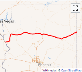
Interstate 40 (I-40) is an east\west Interstate Highway that has a 359.11-mile (577.93 km) section in the U.S. state of Arizona, connecting sections in California and New Mexico. The section throughout the entire route in Arizona is also known as the Purple Heart Trail to honor those wounded in combat who have received the Purple Heart. It enters Arizona from the west at a crossing of the Colorado River southwest of Kingman. It travels eastward across the northern portion of the state connecting the cities of Kingman, Ash Fork, Williams, Flagstaff, Winslow, and Holbrook. I-40 continues into New Mexico, heading to Albuquerque. The highway has major junctions with U.S. Route 93 (US 93) \u2014 the main highway connecting Phoenix and Las Vegas, Nevada \u2014 in Kingman and again approximately 22 miles (35 km) to the east and Interstate 17 \u2014 the freeway linking Phoenix to northern Arizona \u2014 in Flagstaff.
For the majority of its routing through Arizona, I-40 follows the historic alignment of U.S. Route 66. The lone exception is a stretch between Kingman and Ash Fork where US 66 took a more northerly, less direct route that is now State Route 66. Construction of I-40 was ongoing in the 1960s and 1970s and reached completion in 1984. With the completion of I-40 in 1984, the entire routing of US 66 had been bypassed by Interstate Highways which led to its decertification a year later in 1985.
...
I-40 AZ Exits
Highway I-40 runs West to East with exit numbers starting at the western most exit of each state or province.
Lodging Fuel Food Vehicle Shopping Entertainment/Tourist Medical Assistance Police Fire Pets Bank/ATM